- Take pictures with a camera or a smartphone equipped with a geotagging system (don’t forget to activate geotagging).
- Save your photos in a folder on your hard drive (for faster loading, reduce file size with a dedicated utility such as Image Resizer).
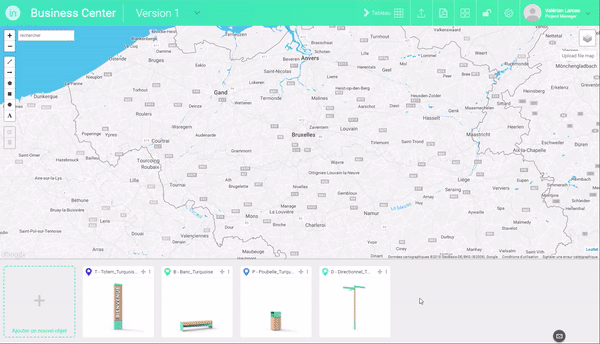
- In the editing interface, click on the title bar of one of the objects in the object collection area at the bottom of the screen, to switch to “implantation” mode (the title bar of the object turns green).
- In the file explorer of your operating system, navigate to the folder where you saved your photos.
- Select the JPG file(s) of the photos you want to import on the map.
- Drag these files to the map to automatically create implantation sheets for the selected object in the locations where you took your photos.
- Click on the location markers to view your photos and to make a photo integration of the object.